RIMS
Rail Inventory Management System
Created by TavlaSolutions
Utilize your data to the fullest through:
- Communication
- Access
- Analysis
Communication
RIMS lets you communicate your data easily between multiple parties:
- Within your organization
- With your collaborating organization (state or railroad)
- With the regulatory organization (FRA)
Communicating within your organization
RIMS allows you to communicate with your colleages through sharable page links and crossing linked documents and images. User rights are designed to support a hierarchical QA/QC process.
Communicating with collaborative organizations

If something seems amiss in data that you are not responsible for updating, RIMS allows you to flag that field and notify the state or railroad of your concern. There are also multiple bulk data export formats for sharing data with organizations that are not using RIMS.
Communicating with the regulatory organization
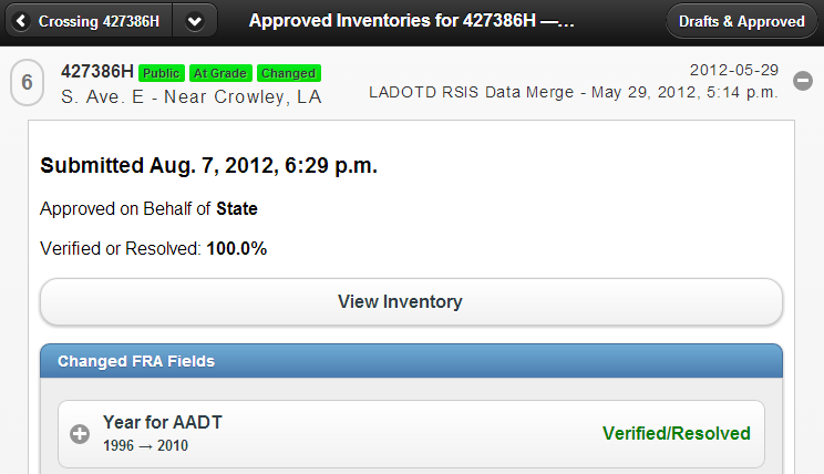
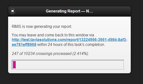
Data that you have approved, and that doesn't currently exist in the FRA database (we check), is added to a queue for immediate submission to the FRA GCIS API. This process is robust and designed to handle FRA GCIS API downtime. As their electronic data submittal policies change, we will change with them, so you don't have to modify your workflow!
Access
RIMS provides access to your data wherever you are:
- In the office
- In the field
- Offline when internet access isn't available
Access in the office
As a Web application, RIMS works in any modern browser on all operating systems; Windows, Mac and Unix/Linux.
Access in the field

Online or offline
Access your data from any internet enabled device, or plan ahead for areas with no signal using our offline mode.
Analysis
RIMS provides integrated methods for analyzing your data:
- Rating models
- Geospatial analysis
- Custom cost-benefit models
Rating Models
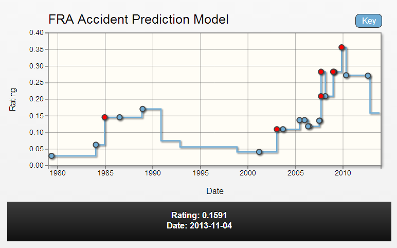
In addition to the standard FRA Accident Prediction Model, custom models can be included for your organization.
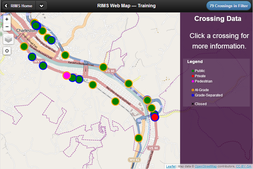
Geospatial Analysis
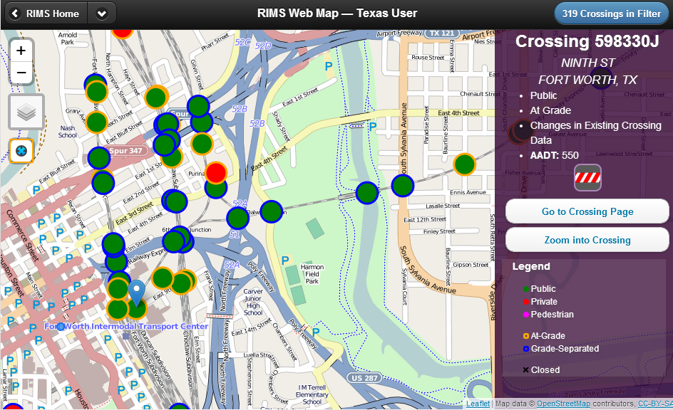
View crossings in the integrated Web map, or export data for use in third party viewers or GIS products.